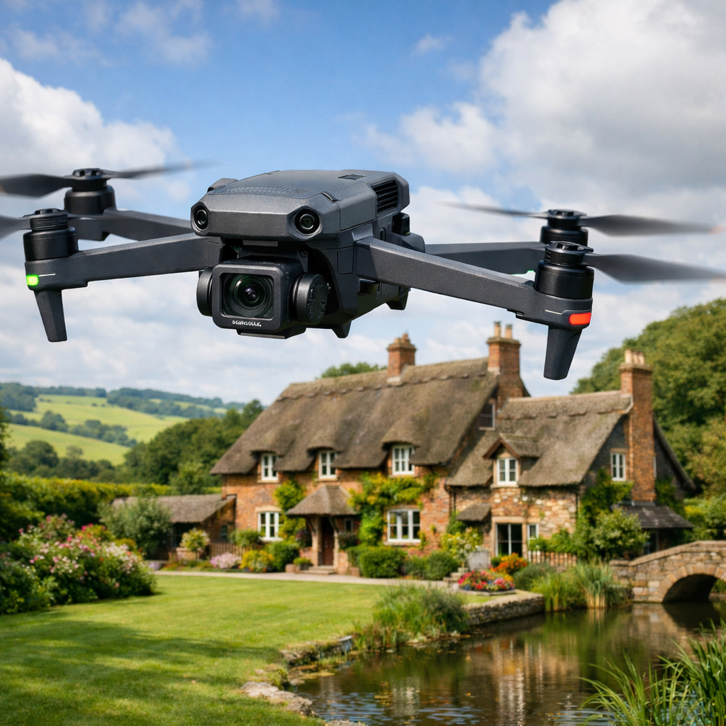
Aerial Photography
Professional drone photography that delivers sharp, high-resolution images with real impact. Ideal for property, commercial sites, land, and marketing, each shot is carefully composed to show scale, detail, and context — not just “something from the air”.
Aerial Videography
Cinematic aerial video captured in up to 6K resolution, designed to elevate brands, projects, and productions. Backed by decades of filmmaking experience, every flight is planned to produce smooth, purposeful footage that tells a story rather than just hovering about looking impressive.
Photogrammetry & Mapping
Accurate aerial data capture for mapping, measurement, and 3D modelling. Our photogrammetry services provide reliable 2D and 3D outputs for surveying, construction, land analysis, and planning — delivering clear, usable data you can actually build decisions on.
Contact us! It will only take a minute
Latest News
Check out the latest news and posts from Sky Image Inc
Why Drone Services Are a Game-Changer for Real Estate Marketing
Buying property is an emotional decision. Square footage and floor plans matter, sure — but what really sells a place is how it feels. And nothing captures that feeling quite[…]
Read more